Secret Maps is made possible with support from Wayland Games and Tony & Maureen Wheeler
- Today (24 October) the British Library has opened a new major exhibition, Secret Maps
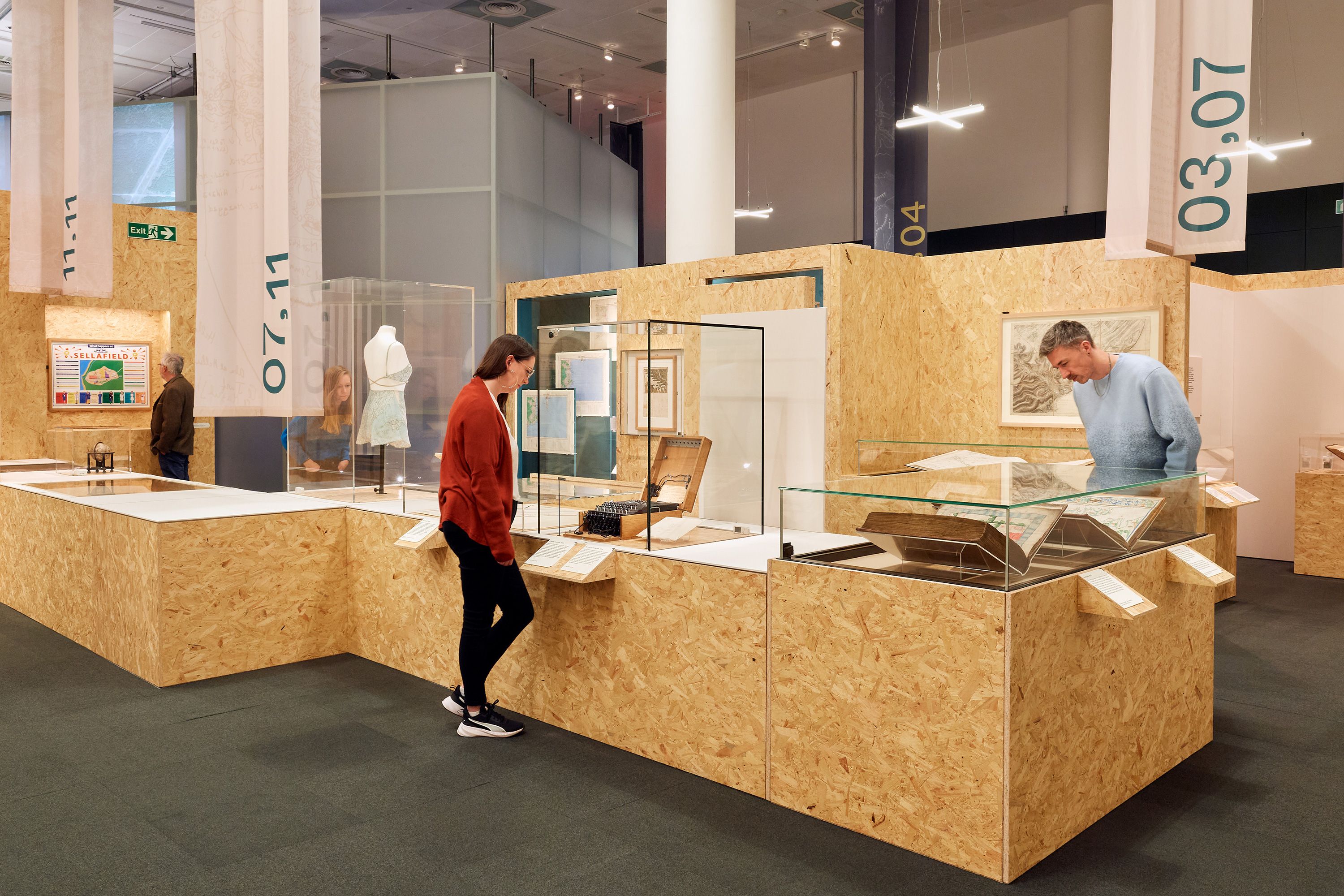
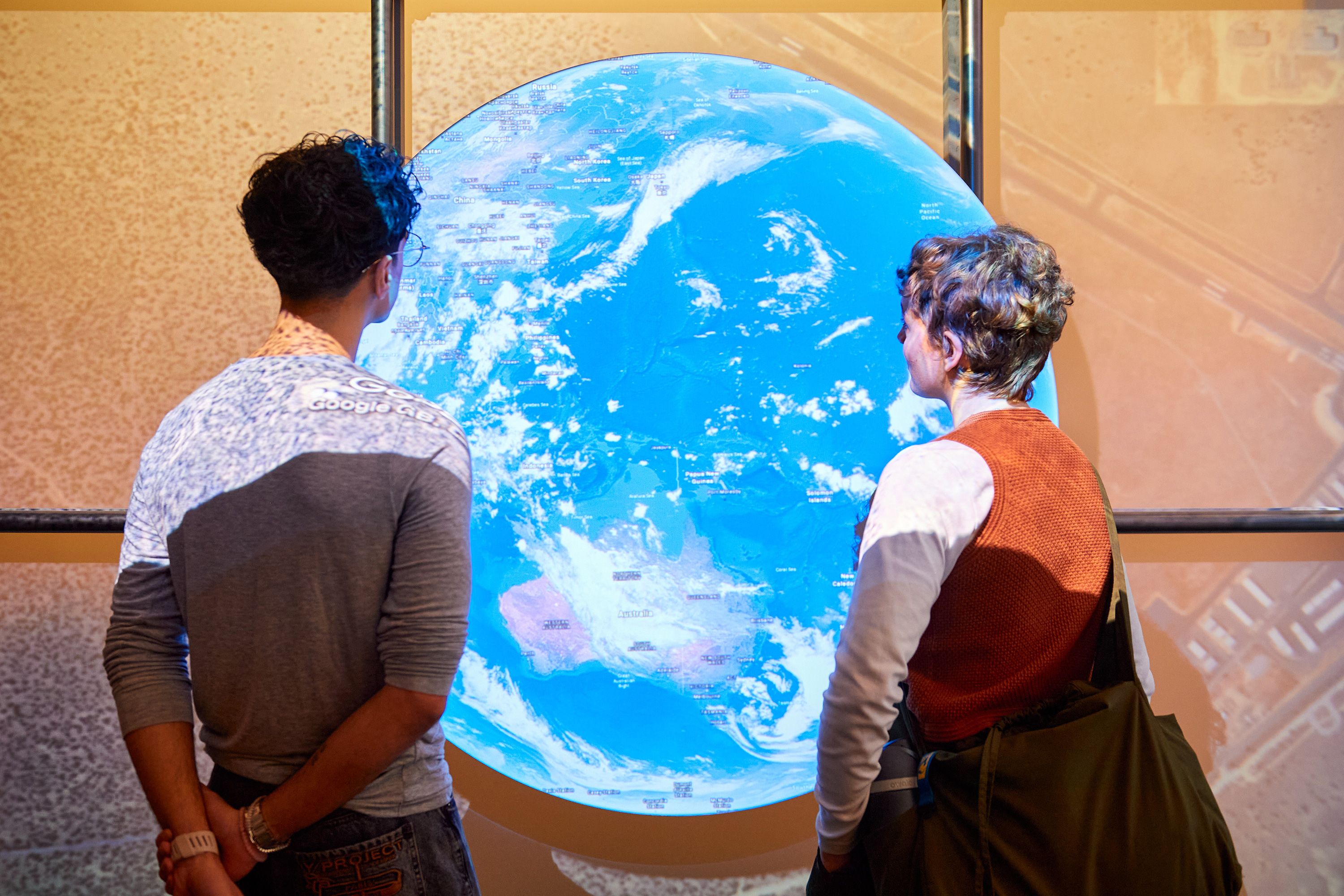
- Through over 100 items the exhibition examines how maps have played a role in preserving secrets for the benefit of their creators from the 14th century to the present day, from the hand-drawn opulent naval charts gifted to Henry VIII, to maps of cable networks used to intercept messages between the world wars; and the satellite tracking technology used by apps in our everyday lives
- The exhibition illuminates how mapping has been harnessed as a powerful political tool in global conflict while also revealing how maps can foster a sense of community and serve as a form of protest
- Secret Maps is accompanied by a diverse events programme, with talks from authors,journalists and data experts including Prof Jerry Brotton, Tim Marshall, Alison Bashford, Travis Elborough and others.
Justine Trickett
Justine Trickett
Historically mapping has offered governments and organisations the opportunity to define and control the world around them, as shown through confidential maps of the English south coast commissioned for the Tudor court, trading routes drawn up for the Dutch East India Company and classified military plans for the D-Day landings at Normandy. The exhibition also reflects on how mapping can comment upon the everyday role of secrecy in societies through the iconic Where’s Wally books in the 1990s and world-building games like Minecraft. Visitors will explore the idea of maps as complex objects that reveal as much about their makers and their purposes as they do about the physical spaces they seek to capture.
The exhibition opens with Imperial Secrets, a section that explores how, from the 16th century onwards, maps and secrecy combined to enable colonising powers from western Europe to conquer and control. The section includes a map from 1596 attributed to Sir Walter Raleigh on an expedition in what is now Guyana in South America, in search of the mythical city of El Dorado; a map used by British diplomats at the negotiations after the American War of Independence in 1783 outlining proposed borders between what would become the British Dominion of Canada and the United States of America; a map produced in 1946 of British India (modern-day India, Pakistan and Bangladesh), with a ‘top secret’ report investigating the potential economic and military impact of partition for the proposed state of Pakistan; and a map of Aotearoa (New Zealand) drawn in 1793 by Māori chief Tuki te Terenui Whare Pirau highlighting the gulf between the attitudes of colonialists to ‘new lands’ and the beliefs of the Indigenous people.
The second section, State Secrets, shows how maps from the 16th century to the present day have been used by governments to conceal strategically important information and to consolidate power. On display is one of only two known existing copies of a secret map produced by Ordnance Survey during the General Strike of 1926 amid fears of a public uprising; Willem Blaeu’s globe which depicts the Le Maire Strait, a Pacific passage first charted in 1616 that the Dutch East India Company sought to keep secret to protect its trade monopoly; a hairbrush containing escape maps sent to WWII prisoner of war camps in Germany; and a map drawn by T.E. Lawrence aka ‘Lawrence of
Arabia’ depicting his journey in 1917 from the Red Sea coast to the Hejaz Railway used by the War Office to update their map of the region.
The third section Secrets in Society reflects the dual role of maps as objects that reveal the world but also reflect the values and priorities of the society they are created for. This includes maps commissioned by governments and organisations as well as marginalised communities seeking to record their experiences. On display is a khipu from the 16th century, a record-keeping device created by the Inkas (Incas), the ruling civilisation of the Andes,which was used to map sacred landscapes; a copy of the London 'Gay to Z' from the mid-1970s which documented gay friendly venues in the city; an apartheid-era road atlas of South Africa that only displays towns and cities with white populations; and a mapping project created by the Amazon Conservation Team and Indigenous communities in Suriname that through local knowledge and modern mapping technologies exposes the impact of illegal gold mining on ancestral lands.
In the final section, Personal Secrets,the exhibition delves into how mapping can make private lives public and reflect on the power this data can offer. Visitors encounter land surveys used by imperial powers to confiscate and re-distribute land for colonial settlers in Ireland and British East Africa (modern-day Kenya); a Cable Map of the World from 1927 which reveals a global network of censorship stations, used by the British government to intercept messages sent via submarine and overland cables; a map that outlined a transit route from Turkey to Germany, once shared using an end-to-end encryption messaging app by Syrian refugees; and a 2015 interactive map by Private Eye that used public data to expose over 100,000 UK properties owned by offshore companies.
Visitors will also see the satirical 16th century Fool’s Cap Map, which places the world within the head of a court jester, potentially mocking the illusion of certainty maps appear to provide and exploring how little we can truly know of the world around us.
Tom Harper, Lead Curator of Antiquarian Maps at the British Library, said:
‘Mapping over the centuries has responded to the human desire to explore and define our world but can also be used as a tool of concealment. Through atlases, globes and charts in the British Library’s collection and special loans from GCHQ, the Imperial War Museum, the British Museum and other lenders, the exhibition takes visitors on a journey through the history of secrecy in cartography. Secret Maps explores how maps reflect social change, geo-politics and advances in technology while also inviting visitors to discover how often maps conceal as much as they reveal.’
Richard Lawford, Managing Director of Wayland Games Ltd, said: ‘Wayland Games is proud to support the Secret Maps exhibition at the British Library. As a retailer of tabletop games that spark imagination, we know how powerful maps can be; not just for finding your way, but for uncovering information, planning strategies, and setting the stage for epic adventures. The exhibition’s focus on secrecy, conflict, and control through maps speaks to the stories our community loves to explore. We hope visitors leave inspired to chart new stories of their own.’
There is also a season of in-person and online events inspired by the exhibition including an event exploring the crucial role maps play in warfare and a look into the use of maps in the covert world of spies.There will also be an event with Professor Jerry Brotton from Queen Mary University of London on maps and their secrets, and an interactive journey through the Library from immersive theatre-maker Seth Kreibel. There will be a number of panel events, including:authors Alison Bashford and Travis Elborough on uncanny cartography; technologist Ed Parsons and Dr Ollie Ballinger from Bellingcat exploring how maps can reveal what authorities would like to hide; award-winning journalist Tim Marshall looking at how the borders of the world may change in the future; and there will be a talk from the exhibition’s curators offering a behind-the-scenes glimpse into the stories in Secret Maps.
Accompanying the exhibition is a book - Secret Maps: How they Conceal and Reveal the World - available to purchase now that delves into the cartography of concealment. Through over 150 unique maps, used by governments, armies, communities and individuals to withhold all kinds of spatial knowledge, the book will explore the role of maps in espionage, state secrets and the hunt for buried treasure.
Secret Maps will be open from 24 October 2025 – 18 January 2026. The exhibition has been made possible with support from Wayland Games and Tony & Maureen Wheeler, and with thanks to Kathryn Uhde, Sir Trevor & Lady Susan Chinn, The Indigo Trust and Richard H Brown.
ENDS
Notes to Editor
For more information or images please contact the British Library press office: press@bl.uk
Secret Maps
24 October 2025 - 18 January 2026
https://events.bl.uk/exhibitions/secretmaps
Tickets: A full priced ticket is £20, with concessions available. There are 10% discounts for groups over 10 when booked in advance.
About the British Library
We are the national library of the UK and we are here for everyone. Our shelves hold over 170 million items – a living collection that gets bigger every day. Although our roots extend back centuries, we aim to collect everything published in the UK today, tomorrow and far into the future. Our trusted experts care for this collection and open it up for everyone to spark new discoveries, ideas and to help people do incredible things.
We have millions of books, and much more besides. Our London and Yorkshire sites hold collections ranging from newspapers and maps to sound recordings, patents, academic journals, as well as a copy of every UK domain website and blog. Our public spaces provide a place to research, to meet friends, to start up a new business or simply to get inspired by visiting our galleries and events. We work with partners and libraries across the UK and the world to make sure that as many people as possible have the chance to use and explore our collections, events and expertise. And we're always open online, along with more and more of our digitised collection.
See: www.bl.uk
About Wayland Games Limited
Wayland Games Limited is your premier destination for tabletop hobby products. As a leading independent retailer, we embody a forward-thinking approach to online retail, ensuring an exceptional experience for all our customers. With a commitment to customer satisfaction at the core of our values, we strive to go above and beyond to meet your needs. Our knowledgeable team is dedicated to providing personalised support and guidance throughout your hobby journey. Discover an unparalleled selection with one of the largest online catalogues of tabletop gaming products available. From miniature wargaming to role-playing games, we have an extensive range that caters to all enthusiasts. Whether you're a seasoned gamer or just starting out, we have something for everyone. At Wayland Games, we take environmental responsibility seriously. We actively pursue green initiatives to reduce our ecological footprint and contribute to a sustainable future. By choosing us, you're supporting a company that values the planet we call home. Join us on this exciting tabletop adventure. Visit our website today and embark on a journey into the world of hobby gaming with Wayland Games Limited.