Mapping my place
Old maps create new links to textile artist Melinda Schwakhofer’s Native American ancestors.
11 February 2026Old maps create new links to textile artist Melinda Schwakhofer’s Native American ancestors.
11 February 2026Blog series Americas and Oceania
Author Melinda Schwakhofer is a textile artist and citizen of the Muscogee (Creek) Nation with Austrian-American ancestry, who now lives and works in the UK. She is a 2025 Eccles Institute Visiting Fellow.
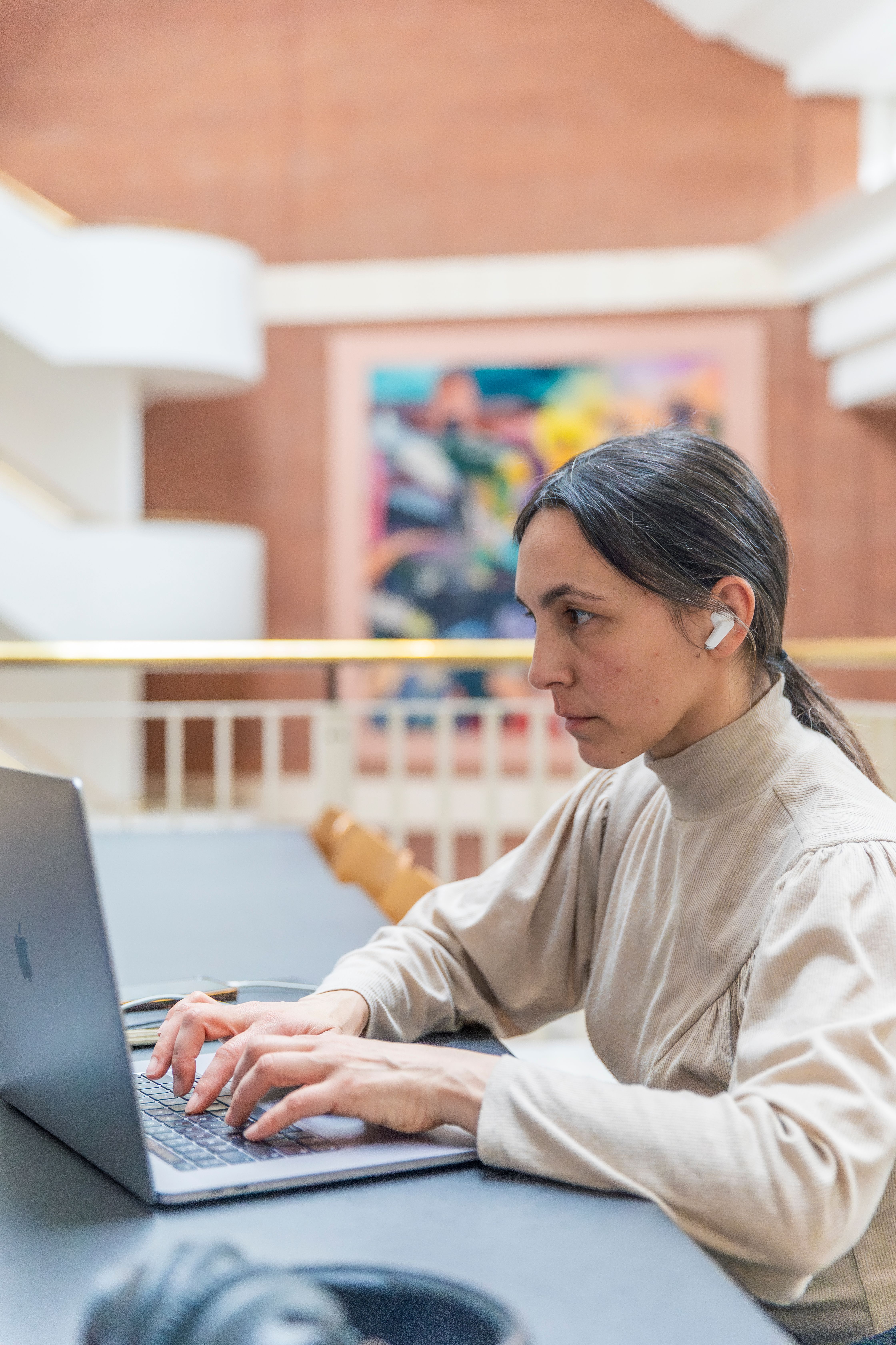
I've been working with maps as digital images for several years, printing them onto paper or fabric and making textile art with them. Previously, I’ve encountered these maps only through digital sources. When I received the Eccles visiting Fellowship to investigate the deerskin trade between Britain and my Indigenous Muscogee Nation in the Federal period, I knew that the stories told by maps drawn in the late 18th and early 19th centuries would enable me to expand my knowledge.
While I could prepare myself intellectually to see maps that linked me to a very different world from the one we now live in, I was not prepared for the sheer depth of emotion that seeing, handling, and smelling these documents would elicit in me.

Map of the Southern Indian District, 1764 – cartouche

Map of the Southern Indian District, 1764 – detail
Map of the Southern Indian District, 1764 shows the territories and villages of the Choctaw, Chickasaw, Muscogee and Cherokee living where we were meant to be, in our homelands. The map maker had traversed the trails and riverways there. Looking at the names of these places – familiar from many years of research – I couldn’t help wondering: Had they also met my ancestors?
I located Tallassee (marked in red) where my Great-Great-Great Grandfather Tustenuggee Chupco, born c. 1778, place uncertain, was a Principal Chief.
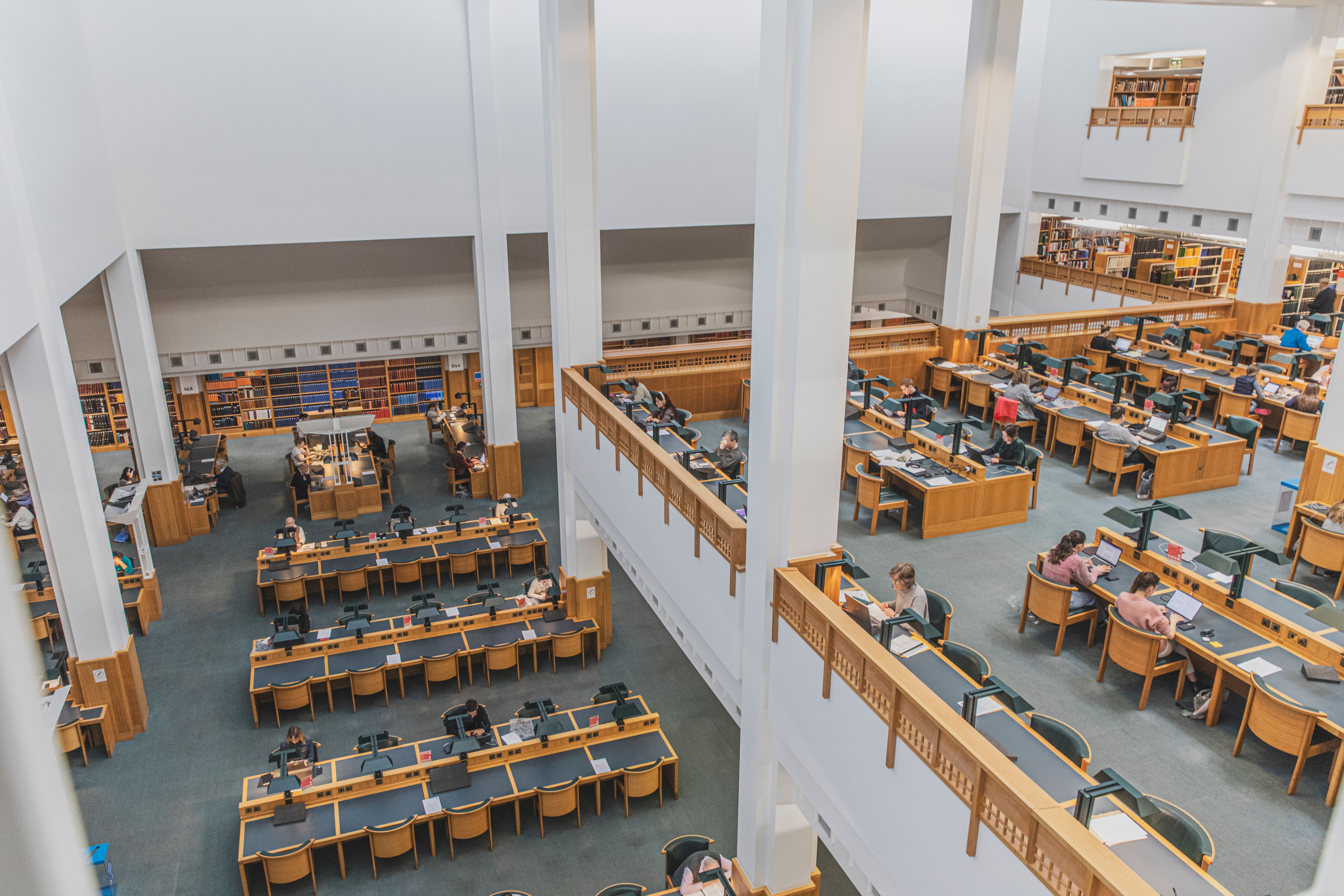
As I experienced this old map, my feelings were a combination of the affirmation and deep joy of finding the place on the map where we had lived, and the deep sorrow over our removal and exile from the place which had been our home for millennia. As I leant over the map, unfolded on a table in the Reading Room at the British Library, tears welled up in my eyes. I did not let them fall on the 260-year-old map but took my self outside, and found a quiet place where I could sit and weep for all that we had lost. To cry and breathe and marvel that I was in London, so far and yet so near to that time and place, drawn on an old piece of parchment.
Subsequent maps show the shrinking boundaries of Muscogee territory. Our hunting lands and trading paths are labelled along with demarcations of 'a body of very fine land for hemp, tobacco et cetera et cetera'. So even while Muscogee territory was being mapped, the map makers were also assessing our land for their own ends.
During my research, I learned the term ‘cartographic silence’ which refers to the intentional or unintentional omission of information on maps.

An Accurate Map of the State of Alabama and West Florida, 1837
In An Accurate Map of the State of Alabama and West Florida, 1837 by John Latourrette – drawn just over 70 years later – there are no Muscogee settlements. Our towns are erased. In the Marginalia there is a drawing of a cotton plant and export figures for cotton, and population figures recorded for each decade from 1790–1830 listing male/female/free colored/slaves. No Indigenous people are recorded.
The maps illustrate how my Muscogee ancestors were drawn in, drawn out, driven out, erased from the land.
What strikes me about the Catawba Deerskin Map is that it's from the indigenous point of view, and shows relationships between the different people. I'm also struck by the use of circles to represent the Indigenous nations and squares/right angles to represent the English settlements.

Catawba Deerskin Map
I made my own map to place myself in relation to my Muscogee Homelands in the American Southeast and to my Nation now based in Oklahoma from where l live on Dartmoor, England. Though far removed temporally and geographically, I am strongly connected to both places.

hvcce puse, talwv ecke: grandmother river, mother town, 2025, 25.5 x 25.5 cm
Handmade silk paper, stencilled cotton organdie, cotton and silk thread on a base of sinamay
© Melinda Schwakhofer, 2006
These maps tell a story if you know how to read them. Not merely a geographical record, but a witness to the impact of colonial expansion on people who are more than names on paper. People who lived, loved, gave life to their descendants and to whom I am directly related. As well as looking to the past, my study of maps has helped me to locate myself in my present.

This blog is part of our Americas and Oceania blog series, promoting the work of our curators, recent acquisitions, digitisation projects, and collaborative projects outside the Library. Our blogs explore the British Library's extraordinarily diverse collections for the study of Americas and Oceania.
Follow us @BL_EcclesInst

You can access millions of collection items for free. Including books, newspapers, maps, sound recordings, photographs, patents and stamps.