Charting Indigenous lands and waterways
Cree geographical knowledge at the British Library and the early cartography of the Hudson Bay watershed.
14 September 2026Cree geographical knowledge at the British Library and the early cartography of the Hudson Bay watershed.
14 September 2026Blog series Americas and Oceania
Author Joe Borsato is a faculty member of the Department of History, Queen’s University, Canada and was a 2025 Eccles Institute Visiting Fellow.
In 1670, on the shores of James Bay in North America, an Indigenous leader named Cuscudidah happened upon the members of a newly-formed English merchant corporation, the Hudson’s Bay Company (HBC). This meeting marked an important moment in an economic and political relationship that would shape the history and cartography of North America.
In 1668, the Cree of the Rupert River, Cuscudidah’s community, had briefly met, traded, and allied with a group of English merchants led by the captain Zachary Gillam. Two years later, Cuscudidah and the HBC bolstered this political and economic alliance in which the Cree traded beaver pelts for European goods like metal and guns. Cuscudidah was keen to acquire these goods to strengthen Cree defences against their regional adversaries, the Inuit to the north and the Haudenosaunee to the south, thereby reinforcing Cree sovereignty (Oldmixon, The British Empire in America (1708), 544).
In 1685, the cartographer John Thornton (1641–1708) composed a manuscript map of Hudson Bay and James Bay that can be found in the British Library’s collections (Add MS 5414/20). This map visually documented the world that Cuscudidah and other Indigenous peoples inhabited. In addition to publishing maps of Southeast Asia and Indonesia (see the IOR/X/9128/1 series), Thornton created this map of the Hudson Bay region to reveal the political and environmental geography of northern North America.

John Thornton, Chart of Hudson’s Bay, Hudson’s Straits, and Port Nelson (1685). Shelfmark: Add MS 5414/20.
Unlike many printed maps produced for propagandistic reasons, such as John Seller’s ‘Chart of the North Part of America’, Thornton’s map had a practical objective. It sought to preserve geographic features and Indigenous presences that could inform navigation in the bay. The map left large spaces blank and focused on a small handful of inlets and river deltas where the HBC built its forts, including Charles Fort (1668), Moose Factory (1673), Fort Albany (1679), York Factory (1684), and New Severn (1685).

Map of the Hudson Bay (1670), by the author.
Perhaps the most striking aspect of the map is that, when readers look closely, they will find the presences of Indigenous toponyms, or place names. Some of these toponyms appear to preserve Indigenous geographical knowledge, such as the river that Thornton recorded as ‘Onahanah’, which likely corresponds to the Harricana River, a name derived from Algonquian-based languages meaning ‘the main way’. While Thornton’s map does erase some Indigenous place names, it is clear that Cree geographic knowledge had tangible impacts on European cartography.
The map also reveals that the HBC depended on Cuscudidah and other Indigenous allies in the Hudson Bay region to identify trade routes that the company could use to compete against its French rival, the Québec-based Compagnie du Nord, which tried to break into the northern fur trade with Indigenous peoples. As allies, the Cree were central to the HBC’s competitive advantage in the bay.
These Cree-European relations went on to inform international disputes between England and France. Over the course of the late 17th century, the two empires exchanged a series of letters known as memorials, or mémoires, documenting their respective claims to trade with the Cree and establish forts on the coast. Housed in the British Library, many of these memorials consist of hundreds of folios of material (e.g. Stowe MS 480, Add. MS 16913). According to these texts, it was imperative that the HBC impeded French access to the Cree and ‘entered into a good correspondence with the Natives’ (Stowe MS 480, fol. 9v). By its own admission, the company needed its Indigenous allies and trading partners.

John Seller, ‘Chart of the North Part of America’, in The English Pilot Book, IV (1729).
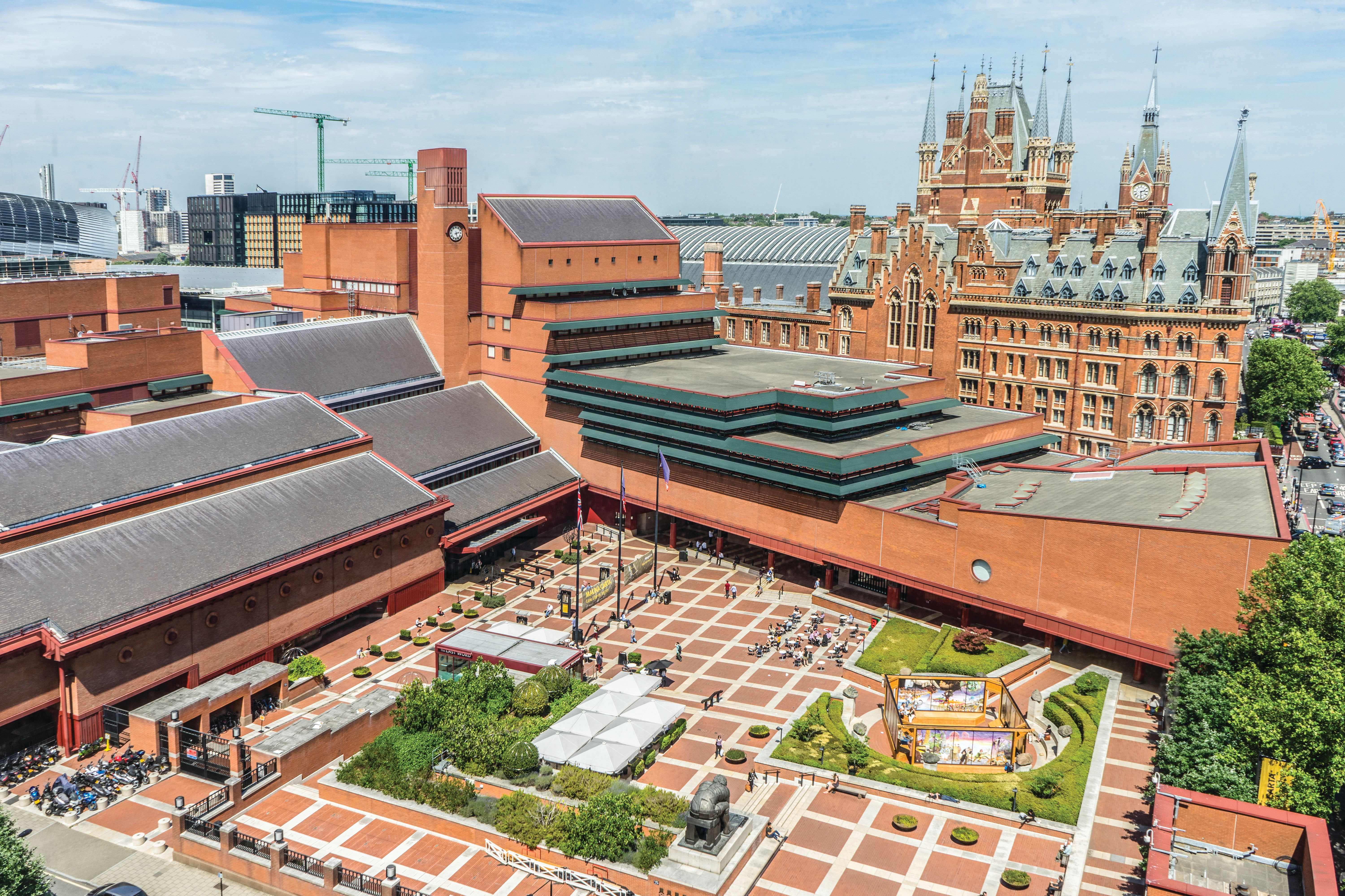
The British Library’s collection offers a glimpse into not only the history of European cartography but also the histories of Indigenous peoples themselves. In the heart of London beside St. Pancras Station, we can recover these Indigenous histories embedded within the maps and manuscripts of empire, recentring the spaces and places that constitute the Indigenous Americas.

This blog is part of our Americas and Oceania blog series, promoting the work of our curators, recent acquisitions, digitisation projects, and collaborative projects outside the Library. Our blogs explore the British Library's extraordinarily diverse collections for the study of Americas and Oceania.
Follow us @BL_EcclesInst

Explore the British Library's collection of over 170 million items, such as books, manuscripts, newspapers, maps, sound recordings, photographs and digital resources