Our stories
Uncover the wonders of our collections through our blogs, articles, and news. Explore stories about the items in our collections, the people who created them, and the histories that lie behind them.
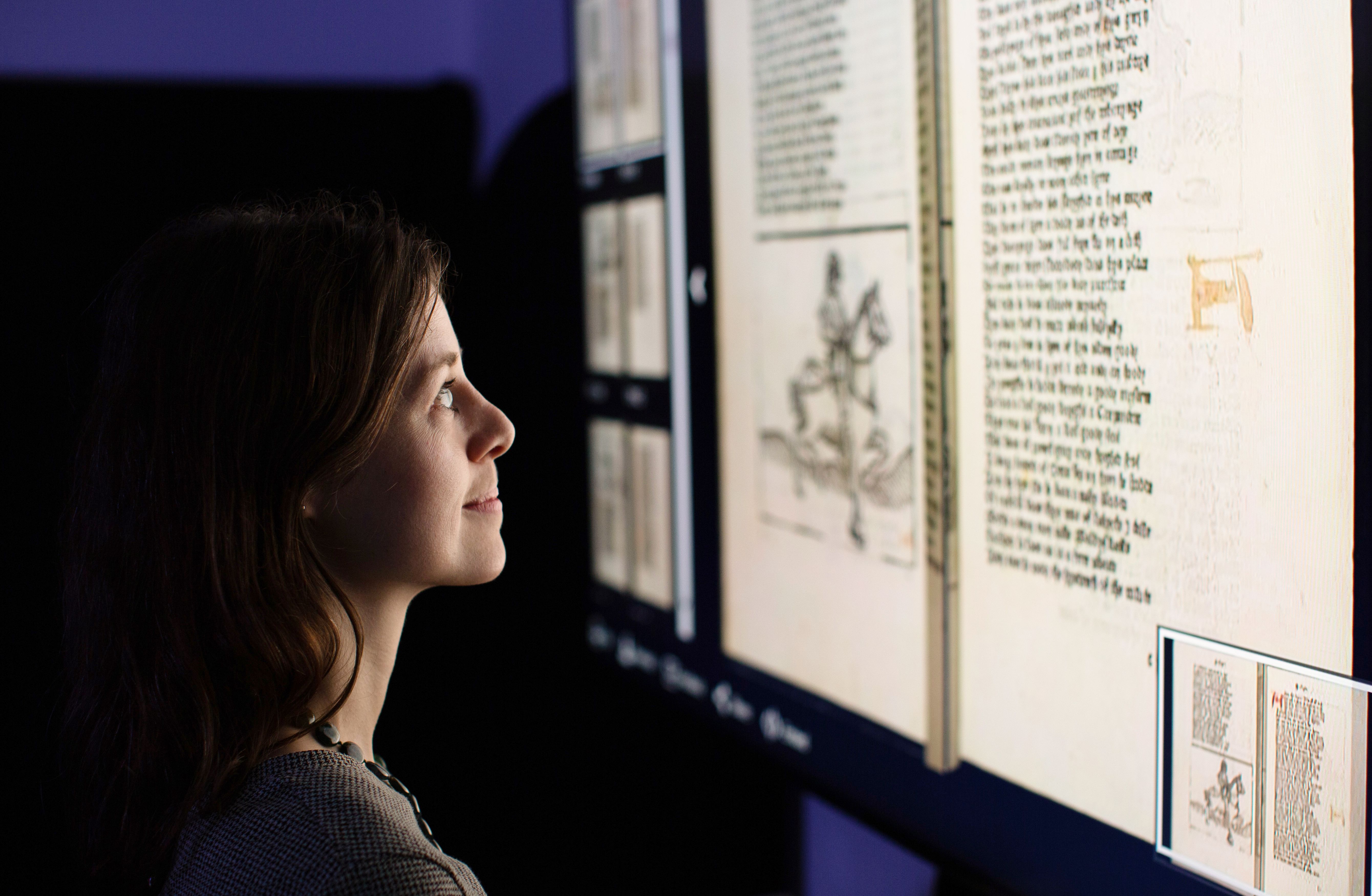
Photo by Sam Lane
Uncover the wonders of our collections through our blogs, articles, and news. Explore stories about the items in our collections, the people who created them, and the histories that lie behind them.
Photo by Sam Lane
We are recovering from a cyber-attack that disrupted many of our services. Only a limited amount of digital content is currently available. We are working to restore access to our interpretative content and learning materials.
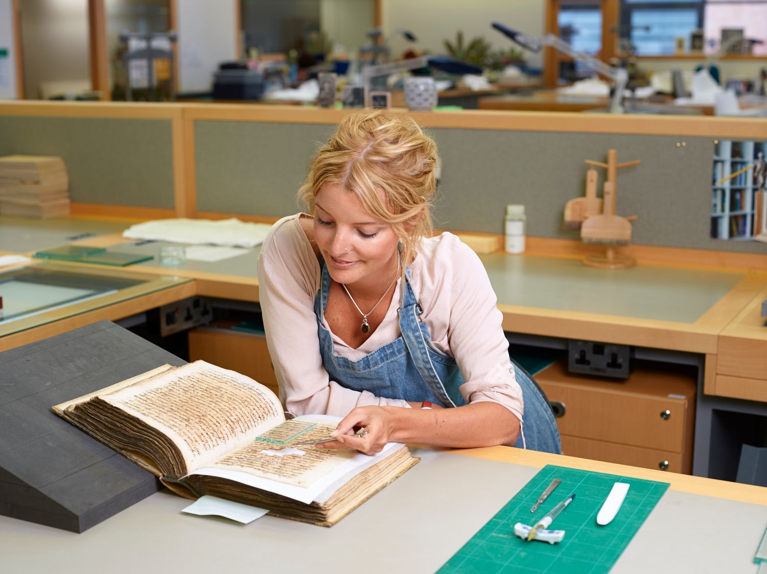
Explore some featured items from our stories.
As a charity, we work to preserve and share our collection of over 170 million items, which grows every day. Make a donation or explore ways to support our work.
Join our mailing list to keep up to date with Library news and events.
By clicking 'Sign up' you agree that you wish to regularly receive news and update emails from the British Library. You can unsubscribe at any time. View our Privacy Policy for more information.
If you encounter any problems subscribing please contact us.